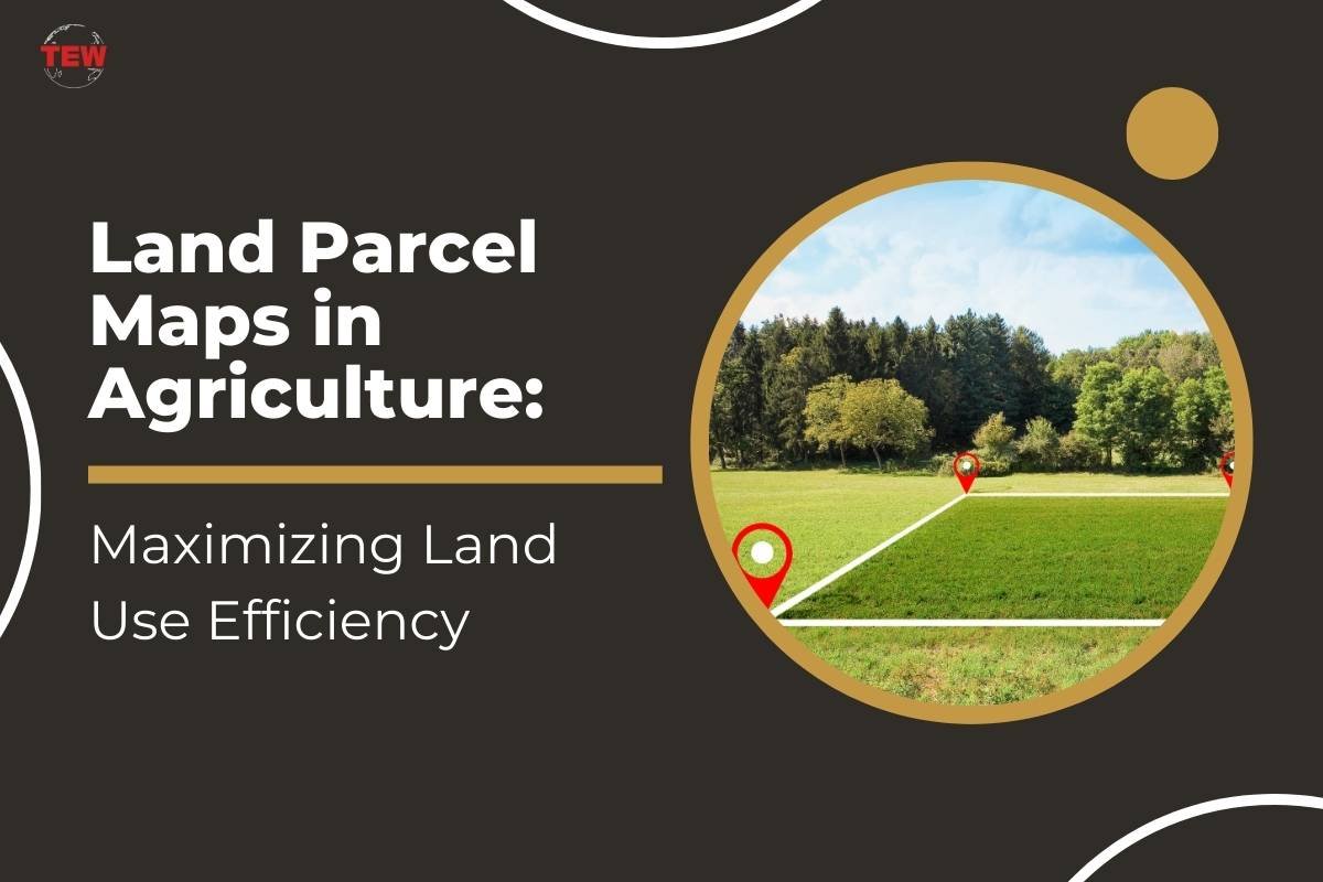
Today, in the changing world of farming, farmers and landowners are always looking for ways to make the most out of their land. A popular tool in agriculture these days is using maps that show pieces of land. These maps give details about parts of the land, such as boundaries, soil quality, elevation, water sources, and infrastructure. By having this information mapped out, farmers can better understand what their land can offer and what challenges it may have. This knowledge helps them create customized plans for farming practices, resource management, environmental conservation efforts, pest control strategies, and more.
Additionally, accessing detailed land parcel maps allows farmers to pinpoint exact locations for specific crops, optimizing yield and sustainability. Knowing how to find a land parcel map is crucial for effectively implementing these strategies and ensuring compliance with local agricultural regulations. Let’s dive into the intricacies now!
Understanding Land Parcel Maps
One significant use of these maps is in precision agriculture. This term refers to using high-tech methods to monitor aspects of farming operations in real time. By combining information gathered from sensors scattered throughout the field with data from maps, farmers can efficiently oversee crop management at a detailed level. By utilizing details offered by land parcel maps, they can develop customized farming techniques like adjusting seeding density or fertilizers based on specific soil conditions or water availability.
Crop Selection and Rotation

Land parcel maps serve as guides for determining the suitable crops for individual parcels based on factors like topography and soil quality. By analyzing these features, farmers can effectively match crops with locations within their farms.
Crop rotation is an aspect of agriculture that enhances productivity while reducing disease susceptibility and soil nutrient depletion. With land parcel mapping data planning, crop rotations have become more streamlined. Farmers can pinpoint parcels for crops such as soybeans or nitrogen-demanding crops like corn, aiding in replenishing soil nutrients and maximizing agricultural productivity across the entire farm.
Irrigation and Water Management

Effective irrigation is essential to avoid both watering and water wastage. Land parcel maps offer farmers details about water source availability, such as rivers, ponds, or groundwater wells, in relation to their field’s locations. By utilizing this information, farmers can strategically design irrigation systems to optimize water use while ensuring that crops receive water supply.
Moreover, by utilizing technologies like sensing or drones equipped with infrared sensors to map soil moisture levels across various sections of land, farmers can make well-informed choices on when and where to apply water. By customizing irrigation methods based on these maps’ insights, farmers play a key role in resource management while maximizing crop output.
Soil Preservation
Safeguarding soil fertility is crucial for farming practices. Mapping land parcels offers insights into the soil health conditions present across different sections of a farm. This enables targeted actions to combat soil erosion and deterioration.
Through mapping provided by land parcel maps that identify erosion-prone areas, farmers can implement erosion prevention measures like terracing or contour plowing when needed. Additionally, understanding variations in soil composition using data from these maps allows for conservation techniques, such as cover cropping or strip plantings, to reduce runoff and promote long-term soil health at a detailed level.
Future Planning and Growth

Land parcel maps not only cater to land management decisions but also assist in planning for future growth and expansion strategies. As farms expand, landowners often think about growing their operations onto lands or close to their existing farms.
With maps of land parcels in hand, landowners can carefully analyze the feasibility of expanding by considering aspects like access routes to fields, collaborations with neighboring farms for resource sharing or joint marketing, and more. This detailed mapping allows farmers to make decisions when it comes to expanding their activities.
Conclusion
Land parcel maps provide insights and tools for farmers to enhance the efficiency of land use in agriculture. These maps offer information on precision farming, optimal crop choices, effective irrigation methods, soil conservation practices, and more. By utilizing these mapping resources alongside technology, farmers can improve their farming operations, conserve resources, boost productivity, and promote agricultural practices.